

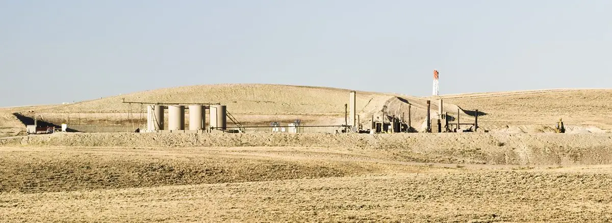

Having a traveling salesman traipse around gas well pads in Wyoming paid off for a University of Wyoming Ph.D. student seeking the most accurate and efficient way to monitor reclamation efforts.
Michael Curran coupled the classic traveling salesman problem – which seeks the most efficient route from start to finish – with a specific data collection process to feed drone imagery through special software. He found using the drone was four times faster, more accurate and data richer in detail than feet-on-the-ground camera use.
The process could mean those engaged in reclamation can monitor many more pads in a shorter time and save money. Plus, the images locked in time and geo-tagged are more resistant to data collection bias and can be used to verify other information, such as success of seed planting mixes, over many years.
The most recent findings are built upon prior research Curran, of Manasquan, New Jersey, conducted into handheld camera techniques. The handheld technique was published inRestoration Ecology in 2019. That caught the attention of those at the Journal of Visualized Experiments (JoVE), which makes and publishes videos of scientific experiments around the world.
Curran said a film crew from JoVE is scheduled to visit Laramie this month to document the process.
The traveling salesman problem finds the most efficient route to visit a set of cities, given the distance between every pair of cities, and return to her start. Curran combined the algorithm with balanced acceptance sampling to find the most efficient routes to monitor individual well pads.
Balanced acceptance sampling is a spatially balanced sampling design that gives optimal spatial coverage over an area of interest.
“We are the first group to couple the traveling salesperson with balanced acceptance sampling, and we are the first to apply both to monitor reclaimed well pads,” said Curran.
The drone flies an optimal route over individual well pads.
“Typically, a well pad observed by two technicians requires one to two hours to run a single transect, which does not provide statistically sufficient data,” Curran said. “We’re putting 30-40 sampling locations on an individual well pad and having the person walking or the drone taking the optimal route to get to each point.”
Curran said the dots were connected as fast as possible.
“And, that was just our trial,” he said. “But, Sam Cox from the Wyoming BLM office and I have been working with Paddington Hodza and Shawn Lanning with the Wyoming Geographic Information Science Center, and we’re going to just get faster and faster as we get better with our drone.”
Prior research Curran was involved in, and published this March in Biodiversity, had shown in previous studies feet-on-the-ground data collection took a little less than 30 minutes per pad. A two-person team takes about 99 minutes to run a single 100-meter transect.
Aerial image acquisition took just 7.7 minutes per pad. Curran wrote that using drone image collection had saved two hours across five sampled wells. Overall costs of monitoring oil and gas fields could be significantly reduced.
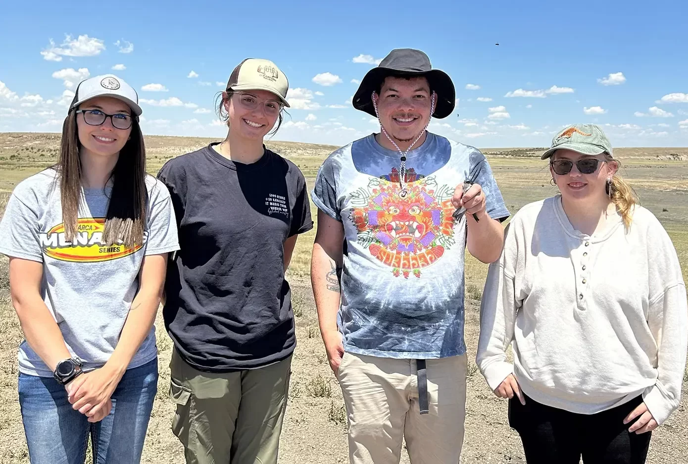
Collaborators included research partners Tim Robinson, statistics professor at the University of Wyoming and director of the Washington, Wyoming, Alaska, Montana and Idaho medical program; Blair Robertson in the School of Mathematics and Statistics at the University of Canterbury, New Zealand; Karen Rogers with the Wyoming Game and Fish Department; Calvin Strom, former assistant director of the Wyoming Reclamation and Restoration Center; and Pete Stahl, current director.
Using the drone imagery collection process can diminish factors that affect accuracy, such as hard-to-read handwriting or crews only collecting data in certain areas. The quicker collection time means plants most easily identified when blooming – which can be of short duration in Wyoming – could be determined.
“It’s not uncommon for contractors to take almost the entire summer to do all their monitoring in larger oil and gas fields,” Curran said. “In a good year, you might have a two- to four-week window when you can actually identify flowering species.”
Missing the window can give false negatives. A plant might be in a location but not identified by monitoring two months after the plant bloomed or its top chewed by grazing animals.
The data collected in the images is diverse. For example, Curran can compare a well pad’s plant species with the seed mix used by a company to reclaim the area.
“I can figure out what’s on the ground and hopefully help them make better seed mix decisions,” he said.
Curran recently received notice he is one of two nationwide recipients of a $2,000 Ph.D. student scholarship from the American Society of Mining and Reclamation. Curran had previously won the association’s master’s student scholarship. He is scheduled to receive his doctorate this month. Stahl is Curran’s graduate adviser.