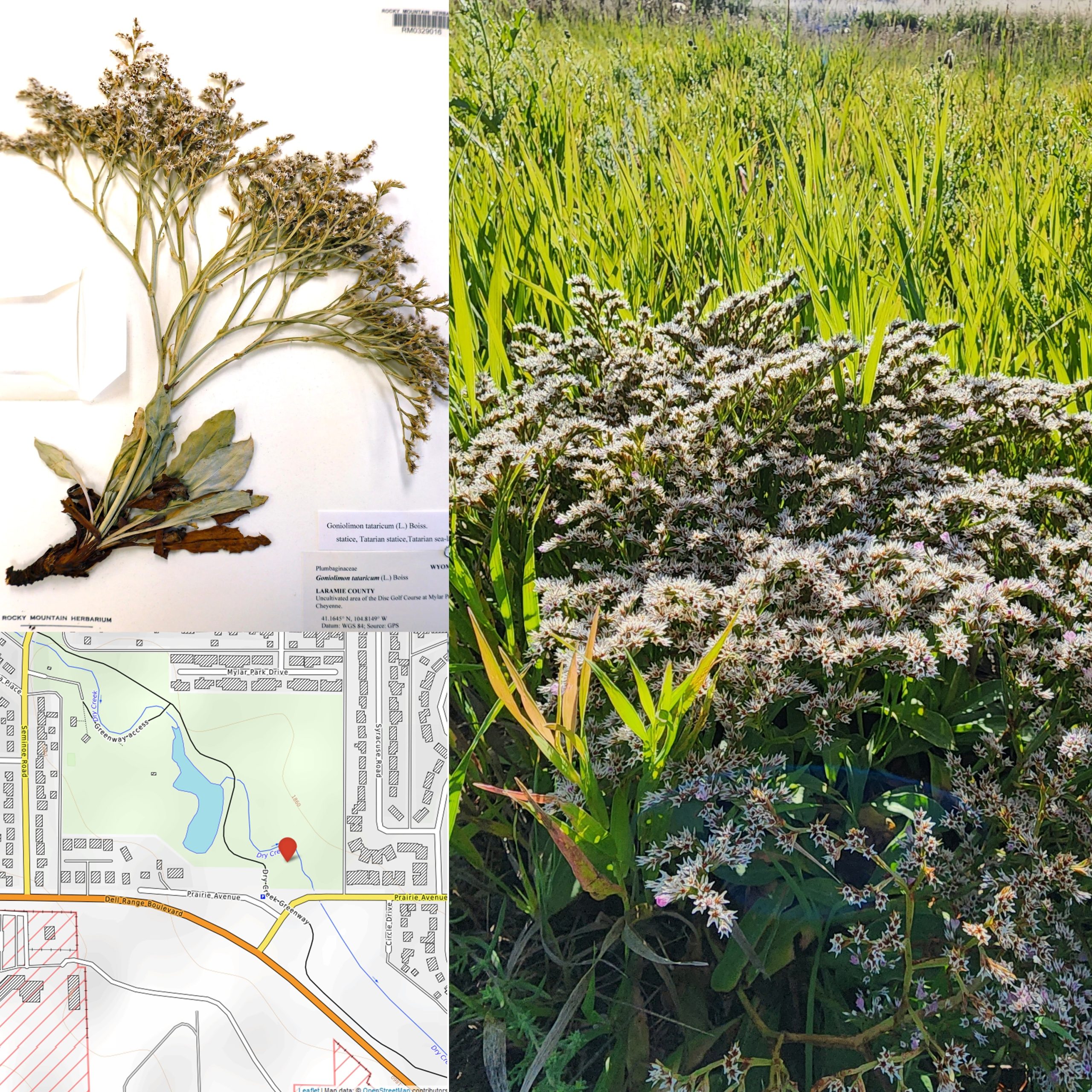
As many Wyoming residents know firsthand, the introduction of invasive weed species like cheatgrass, medusahead, and Palmer amaranth poses a growing threat to the state’s landscapes and economy.
Despite the efforts of state and federal management agencies and private landowners, non-native weeds are notoriously difficult to control, even when early detection and rapid response (EDRR) strategies are employed.
But, thanks to an innovative model developed by University of Wyoming Extension Invasive Plant Specialist Kelsey Brock and U.S. Geological Survey (USGS) scientists, land managers may soon find themselves armed with a new tool.

The model uses records of where invasive plants were first spotted outside their typical range to predict future hot spots for new invasive species.
“An intuitive approach is to search for new non-native species in areas where many non-native species have first been detected in the past,” the scientists wrote in a paper published in the journal Ecography in mid-December. “We formalize this intuition via first records distribution models (FRDMs).”
Traditional species distribution models estimate distribution based on where a particular species is currently found and its preferred climatic conditions. FRDMs build on this concept to examine how first occurrence records correspond to human infrastructure as well as environmental conditions. Whether accidentally or intentionally, humans are the primary drivers of species introductions over large distances; an accurate FRDM must take this into account.
While the model developed by UW and USGS scientists is still in the proof-of-concept stage, Brock is hopeful that it can ultimately be applied to invasive weeds newly established in Wyoming.
“The more we introduce, the more we have to manage,” she notes. “As bad as cheatgrass and other current invaders are, there’s probably going to be new ones that are worrisome as well. Thirty-eight percent of newfound species in Wyoming are already managed somewhere in the western United States. If we’re going to experience similar impacts, it could be wise to detect their populations and start managing them now.”
The current proof-of-concept model relies on first records data from the Global Biodiversity Information Facility (GBIF) to predict locations in the continental U.S. at highest risk of invasion by non-native species.
In Wyoming, the next step is to use first records data from UW’s Rocky Mountain Herbarium and other regional sources to create a Wyoming-specific model and verify its accuracy.
“The Rocky Mountain Herbarium curates a list of species known to be in Wyoming and we also have recent records. With our Wyoming case study, we’ll determine whether our model predicts the species we found recently,” Brock explains.
If the model successfully identifies areas most impacted by invasive species, the researchers will investigate whether state-level data can be used to accurately predict county-based invasions. If not, it may be necessary to develop a county-based model using county-specific records, says Brock.
A parallel study, led by USGS scientist Helen Sofaer, will occur in Hawaii.
As the researchers refine their model, Brock predicts patterns may emerge in how particular types of plants travel across the landscape. “Invasive species come in via different pathways—if it’s an ornamental plant that came in through the horticultural trade, that’s a very different pathway than someone getting a tiny seed stuck to their ATV, then coming to Wyoming,” she says. “Our hypothesis is that you’re going to have different high-priority survey areas for these different types of pathways.”
If the new model performs well in case studies, the next step will be to develop a tool that land managers can use to identify areas at highest risk of invasive weed infestations. For example, Wyoming Weed and Pest districts could potentially use the tool to prioritize where to survey for invasive plants.
“Post-border surveillance would be where this tool lies,” Brock explains. “In other words, these species have gotten over the [Wyoming] border and they’re here, so the hope is to identify them and implement a management technique to eradicate or contain them.”
To view the new paper, titled “First records distribution models to guide biosurveillance for non-native species,” visit https://bit.ly/frdm-modeling-wy. Contact Brock at kbrock5@uwyo.edu or (307) 766-3113 with questions.


