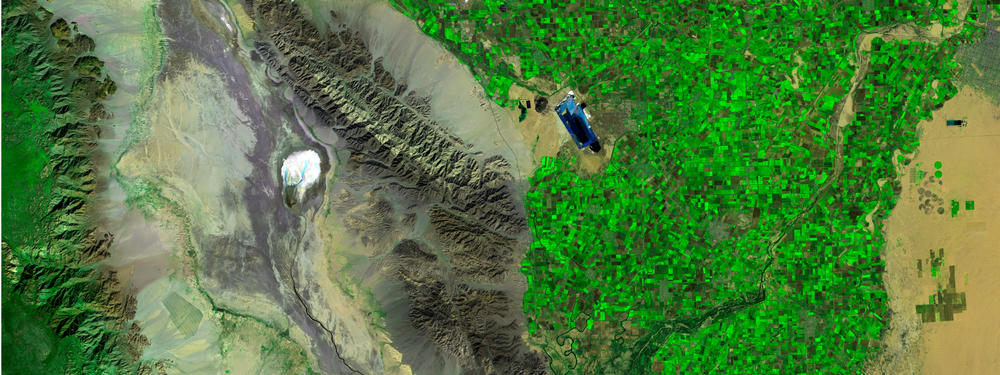
Two University of Wyoming agroecology majors are using free satellite images to help knock out musk thistle strangling rangeland productivity and to scrutinize the effects of damage into the future from a heavy rain-caused event washing away dry beans.
Traylin Bruegger of Niobrara County and Jordan Jochems of Cody used skills gained in a remote sensing class to solve problems on family lands. They’ll also earn certificates in remote sensing, offered by UW’s Wyoming Geographic Information Science Center (WYGISC).
The course is taught by Ramesh Sivanpillai, research scientist at WYGISC.
The Brueggers had used shovels and herbicides to try to manage musk thistle that had a foothold in portions of pastures but in 2014 realized their efforts had to be taken to another level.
“Like all noxious weeds, it has the ability to take over and squeeze out all the other grasses, and that is just not good for the utility of the land, whether it be for livestock or wildlife,” said Bruegger. “They can really dominate the landscape.”
The Niobrara High School graduate said they began to see patches completely taken over by the musk thistle and began systematic aerial spraying for control.
Bruegger obtained Landsat 8 images in successive years showing how the musk thistle had overtaken one particular area with a boundary fence down the middle. The Landsat 8 image showed approximately 700 acres, each pixel showing about 100 by 100 feet. Images showed changes in the invisible light spectrum that musk thistle was spreading in productive areas, showing a closed canopy not seen in Wyoming rangeland vegetation.
Bruegger settled on an area that had the thistle proceeding along a draw. The area shared a fence line with a neighboring property, which was not being treated.
The thistle had overcome the native grasses. After treatment, the image showed the thistle was gone but also areas where the land had not yet been healed by native grasses, their return slowed by Wyoming’s challenging weather.
Two seasons after removal, vegetation production is still being affected.
“The grass doesn’t just come back the first year after the thistles are removed just because of the tough Wyoming conditions,” Bruegger said. “It’s hard for those perennial grasses to re-establish.”
Musk thistle seed banks will also need attention.
“That big patch had been able to establish a pretty good seed bank and if you don’t stay on top of it and keep the thistles cleaned up and managed, they’ll come back in a hurry,” he said.
Landsat images cover hundreds of acres and enable the ranch to track areas that would take much more time if only using observations from vehicles or planes.
Bruegger obtained his pilot’s license as a high school senior, and he and other family members use the plane to monitor ranch operations, from ensuring water tanks are full to making sure bulls are with cows.
“If I had to do this (monitoring) in an airplane, I could only cover five or six pixels and go back and forth and up and down the draw quite a ways to really get a good idea of what is going on,” he said. “But the satellite is always moving over the earth, collecting information on new areas, as well as information on the same areas.”
An extraordinarily heavy rain May 31, 2018, created a mess for a dry bean field just across Wyoming’s northern border into Montana. The water flowed off a feedlot and burst over drainage ditches, flowing into the field and washing away a portion of the crop, leaving manure and pollutants in its wake.
Jochems wanted to use satellite images to determine if the field had changed over time and whether this had been a problem in the past.
“Was this something that had been building up because if so, we should try to prevent it,” she said.
Jochems obtained 20 Landsat images over 2016, 2019 and 2021. There were no images from the date in 2017 due to cloud cover. The images showed the difference in infrared light reflected from healthy and unhealthy plants. With infrared light, along with information collected in red and green, areas of high growth appear bright red, medium growth appear in darker red, and low to no growth appear blue.
“Drastic changes in color are what you are looking for,” she said.
There was no evidence such an event had happened before.
Jochems was able to compare images year-to-year to see if the overflow still affected production. Edible beans, sugar beets, barley and corn are normally rotated through the field.
The images helped her determine a little over 29 acres was affected. Millet was planted after the event, and Jochems determined about 21 acres was regained with the crop.
Jochems was able to compare images to see if the overflow still affected production.
The field has appeared to heal, she said.
Jochems has an ag business degree minor and was unsure whether to pursue a career there.
“I decided to take the remote sensing class here this fall, and it just blew my mind. It is so fascinating,” she said. “It just seemed so interesting to me just to think about how we can use satellites to look at agriculture. Two things that if you asked me a semester ago, I would not have pieced together to have any connections to each other.”


