The University of Wyoming Extension recently released a free digital publication designed to help small-acreage landowners and others make decisions about land management.

The publication, titled “Photo Monitoring Vegetation for Small Acreages,” provides easy-to-follow instructions to gather, analyze, and store data about which plant species are present in an area.
“The primary benefit is for folks to get ideas about more systematic ways to monitor their land and detect potential changes,” says Derek Scasta, UW Extension rangeland management specialist and co-author of the publication. “I think landowners but also land managers from private, local, state, and federal groups will find this of value.”
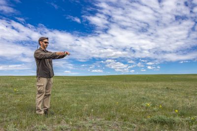
Traditional point sampling methods are precise, but time consuming and difficult to utilize. In contrast, this publication explains how to use a cell phone to take photos and analyze these photos with free online software, SamplePoint. Users can refer to data collected in previous years and easily customize what data is recorded.

and ecological resilience of a small pasture.
Photo vegetation monitoring helps users more effectively meet aesthetic, recreational, or practical goals for their land. Instead of using herbicides every year, for example, a landowner could wait until the number of weed species is above a certain threshold. This makes management more consistent over time and limits herbicide use and expense.
Gathering data removes the guesswork from many management decisions. It can help control weeds, mitigate erosion, and promote species diversity. The publication provides several other examples, including using this guide to understand why certain plant species are disappearing or assess when to stop grazing a pasture.
To view the new publication, visit https://bit.ly/monitor-vegetation. Contact Scasta at jscasta@uwyo.edu or (307) 766-2337 with questions.


