

Research partners Sara Germain and Tucker Furniss aren’t in danger of missing the forest for the trees—or the trees for the forest. Instead, they’re interested in the connections between individual tree health and overall forest health.
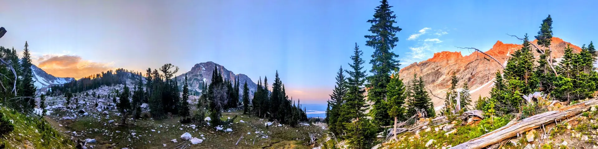
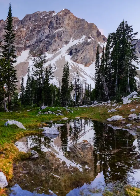
Their current research project focuses on long-term monitoring and mapping of trees in Grand Teton National Park. The goal is to establish baseline metrics for forest health and demographics, which will then serve as a basis for tracking changes over time.
“There aren’t a lot of forests in Wyoming, so it’s important that we understand how to keep the forests that we do have healthy,” says Germain, an assistant professor in UW’s botany department. “By studying in depth not only what’s killing them but [also] if they’re recovering and how quickly, we’re hoping to keep that resource available for the public.”
Measuring recruitment (how many new seedlings are taking root), establishment, growth, and mortality will potentially offer clues about how the forest responds to environmental changes. Germain and Furniss will track both slow-acting processes, like tree growth, and fast-acting processes, like bark beetle outbreaks and wildfires.
Over time, their data may offer clues about how changing forest demographics correlate with environmental factors like temperature, precipitation, fungal diseases, and pest infestations.
Wigger, a first-year UW master’s student in the lab of Assistant Professor Gabe Barrile in the Department of Zoology and Physiology, will study how habitat characteristics and host behavior drive disease dynamics of the amphibian disease chytridiomycosis.
“My research focuses on boreal toads in western Wyoming, where I investigate how changes in beaver pond habitat influence disease prevalence and transmission dynamics within toad populations,” says Wigger, of Houston, Texas.
“Given the severe threat of emerging diseases to wildlife, coupled with rapid shifts in global disturbance regimes, linking disturbance-induced habitat loss with host demography and infection rates is both timely and critical for understanding how environmental change influences wildlife disease dynamics,” Barrile says. “Lena’s research links multiple fields by combining habitat loss, animal behavior, population distribution, and disease dynamics into one overarching framework to improve understanding of host-pathogen interactions in the face of rapid environmental change.”
The fellowship will allow Wigger to pursue a Ph.D., which she says will open doors to future career opportunities as a research biologist.
Mapping trees
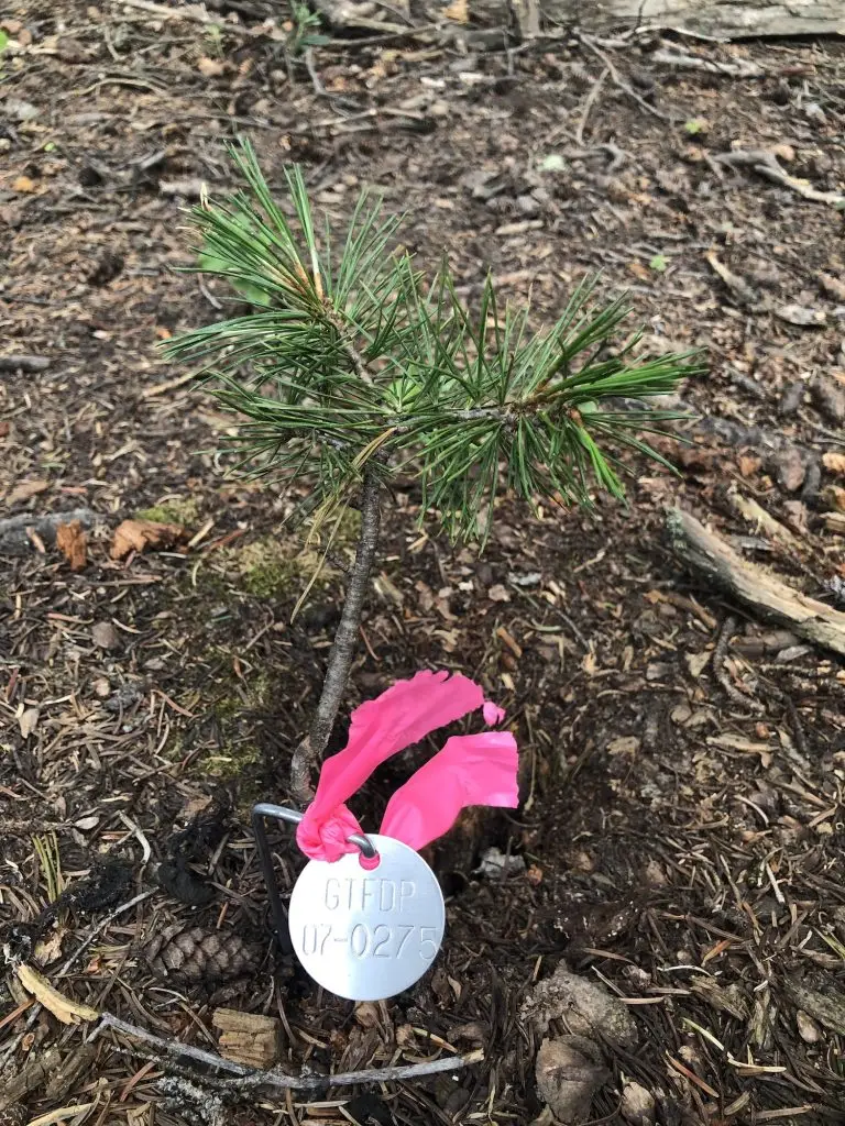
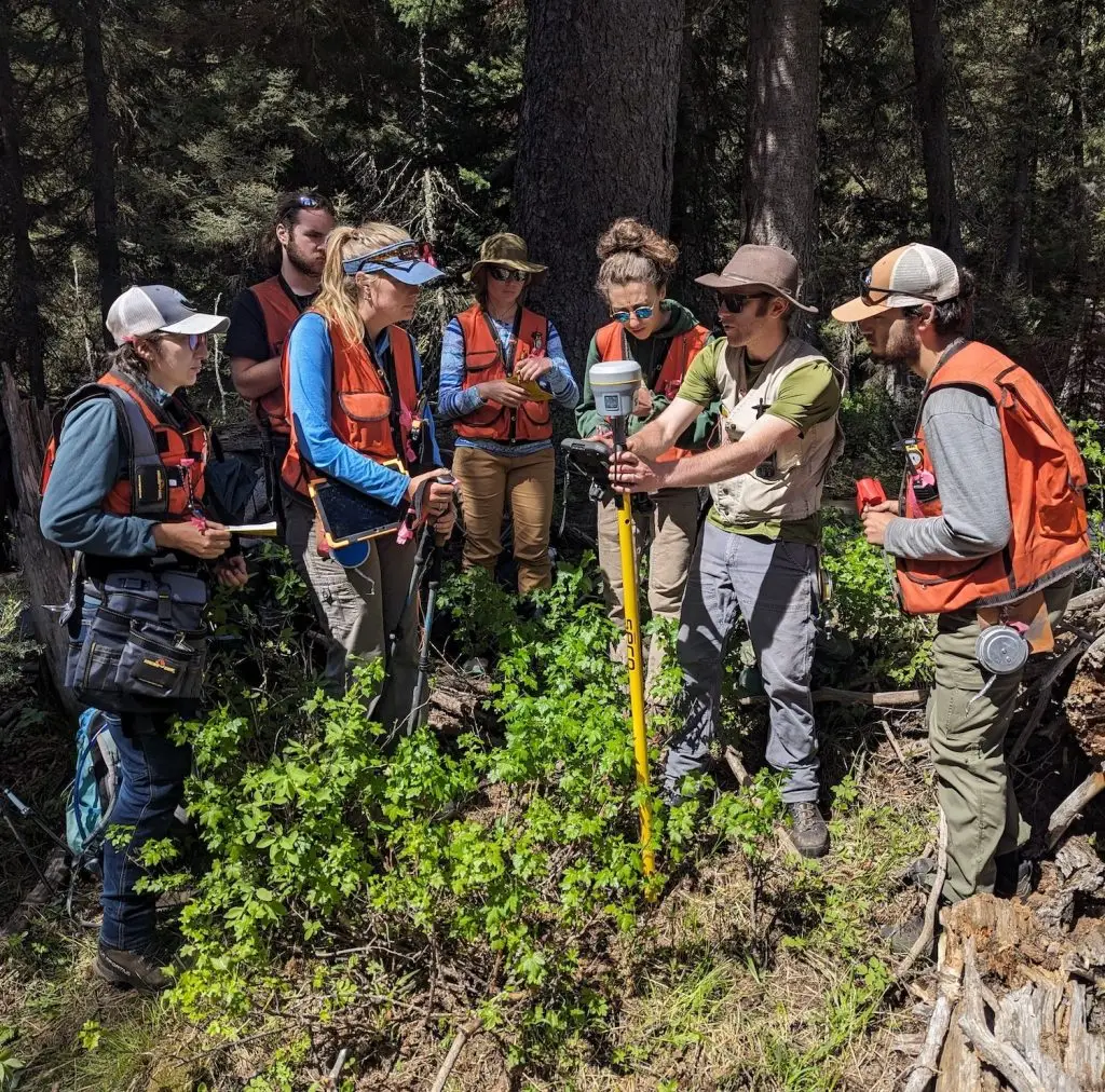
In addition to collecting annual demographic data, Germain and Furniss are painstakingly mapping the locations of tens of thousands of trees and individually tagging each one with a stainless steel tree tag. While time consuming, mapping each tree relative to its neighbors with a high degree of accuracy will allow the researchers to quantify processes like competition and the spread of infectious diseases.
“It’s a unique approach,” says Furniss, an assistant professor in the Department of Ecosystem Science and Management. “You get to know the forest, you get to know the trees.”
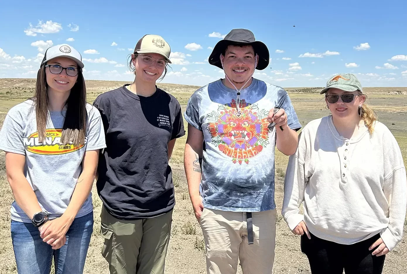
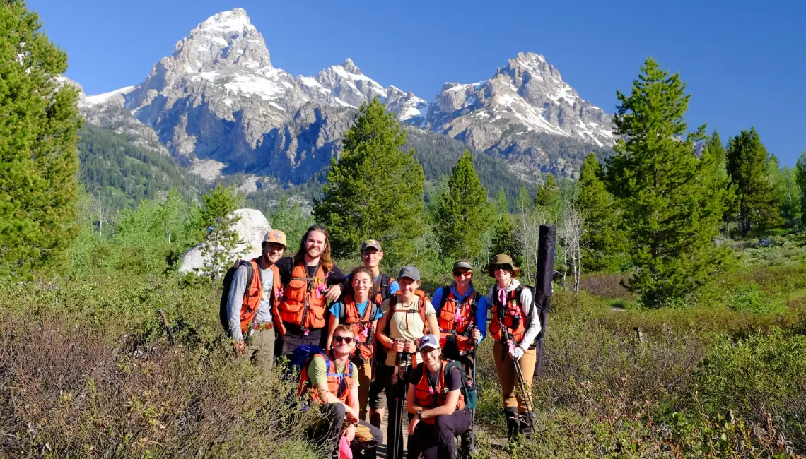
Last summer, he, Germain, and a team of UW students mapped and tagged more than 16,000 trees in Grand Teton National Park. Their study area includes both a large, 25-hectare (nearly 62 acres) plot and several smaller 1-hectare plots. By the time they finish mapping in summer 2025, they will have tagged about 30,000 trees in the larger plot, plus approximately 2,000 trees and seedlings in each of the smaller plots.
Going forward, Furniss and Germain will visit each tagged tree annually to measure growth and mortality as well as perform tree “autopsies” and wellness checks.
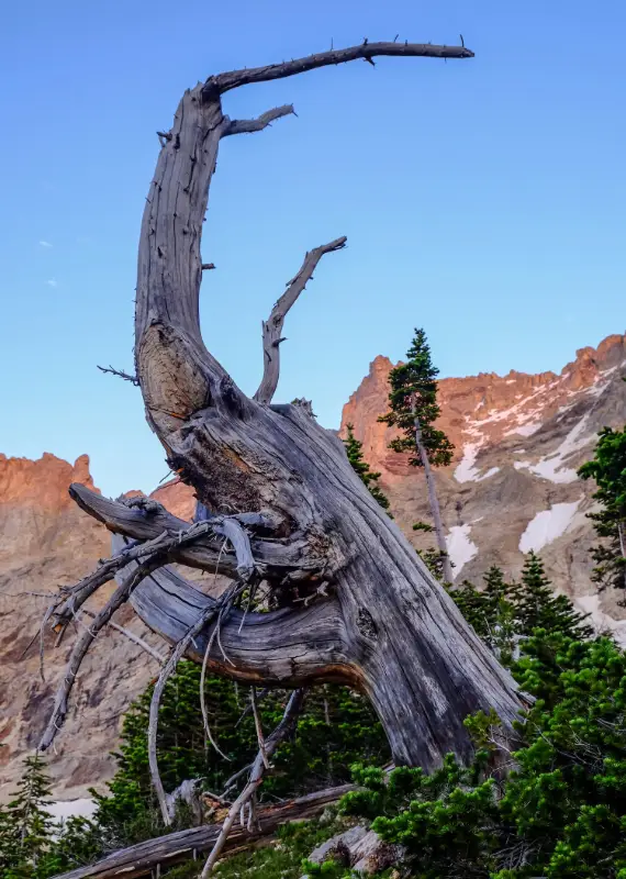
So far, they have observed about 17 different species in the plots. The large plot contains mostly conifers like Douglas fir, subalpine fir, and lodgepole pine as well as hardwoods, including aspen, Rocky Mountain maple, and grey alder.
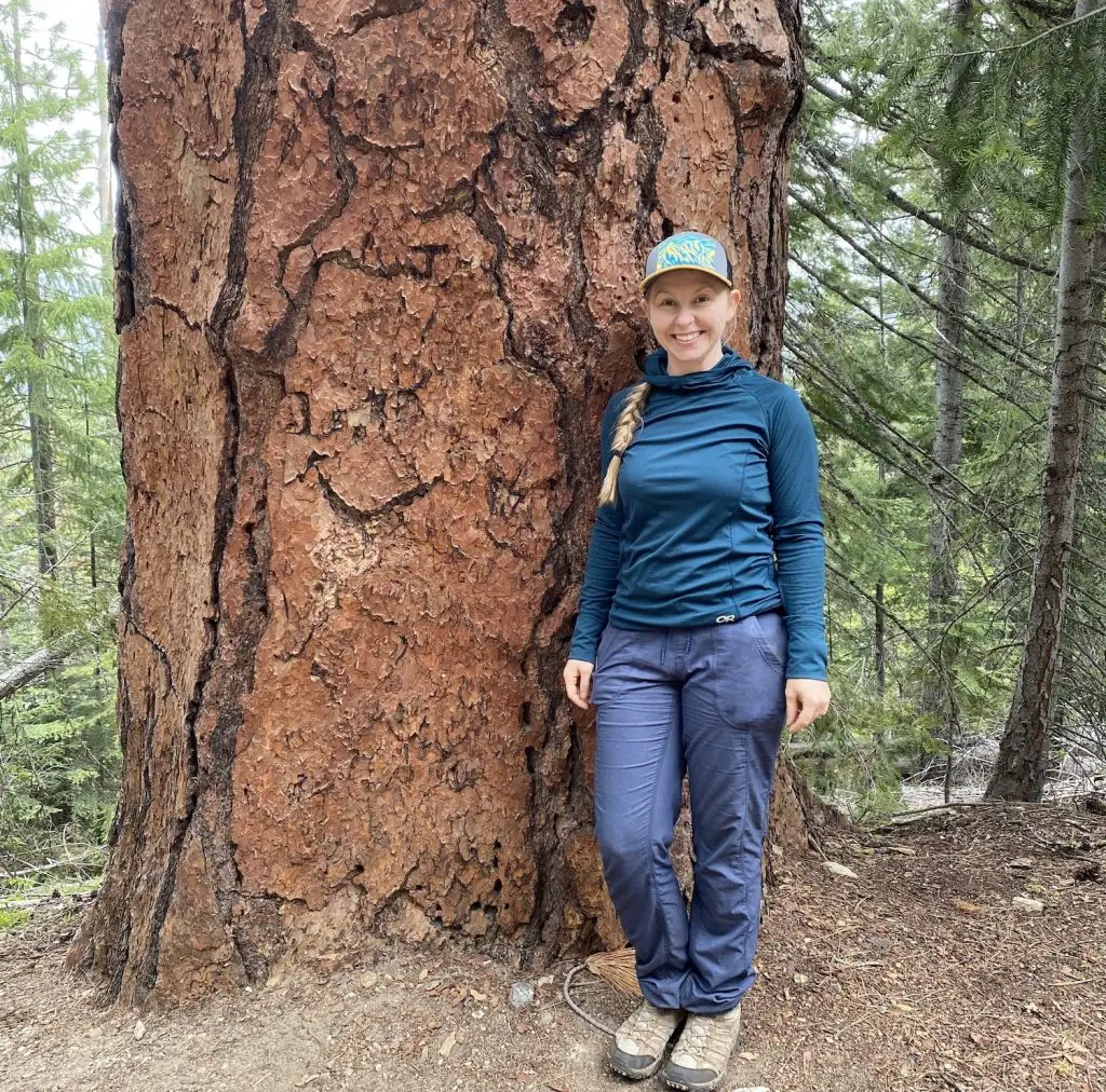
Furniss and Germain intentionally selected an older forest for their study site. “You can learn a lot from an old forest that you could also learn in a young forest, but you can’t learn from a young forest about old trees,” Germain explains. “By choosing an older forest, we’re able to study both big trees and little trees.”
The sheer size of the large study plot is unusual in forest ecology studies, Furniss notes, but provides significant advantages.
Smaller plots are less likely to include larger, older trees and typically don’t provide opportunities to look at the interactions between larger trees. “You need a big plot to study big trees,” Germain comments. “We’re really interested in understanding the dynamics of these large trees because they are the most important for things like carbon sequestration and producing seeds for continued forest regeneration, and also for wildlife.”
Scaling up, scaling down
While Germain and Furniss work side by side, collecting data as a team, they each have their own set of research questions.
Germain’s approach focuses on the growth and health of individual trees, as well as their relationships to one another. “The direction I tend to go in my own individual work is to try to understand the individual traits of these trees using dendroecological methods,” she says. “I’m taking tree cores, I’m looking at tree rings, I’m looking at this fine physiological scale to figure out why some trees die and others survive.”
While Germain zeroes in on individual trees, Furniss zooms out to apply the data at a landscape scale. In his field, vegetation structure and dynamics are often studied using remote sensing techniques. But, he says, without on-the-ground data to complement satellite imagery, it’s difficult to create accurate landscape-scale models.
“Knowing exactly what’s happening on the ground, we can use all the field-based data to calibrate remote sensing and then scale that understanding to bigger landscapes,” he explains.
Furniss also works with process-based models, which allow scientists to predict future landscape-scale changes. These tools incorporate ecological variables like tree growth, mortality, competition, disease, and wildfire. The measurements Furniss and Germain record in the field can be used to calibrate existing models and generate better predictions.
Forest forensics
In their annual surveys, Germain and Furniss will perform wellness checks on each of the thousands of tagged trees in their study plots. They’ll note whether a tree is under attack from bark beetles, whether it’s fighting a fungal infection—and whether it’s still alive.
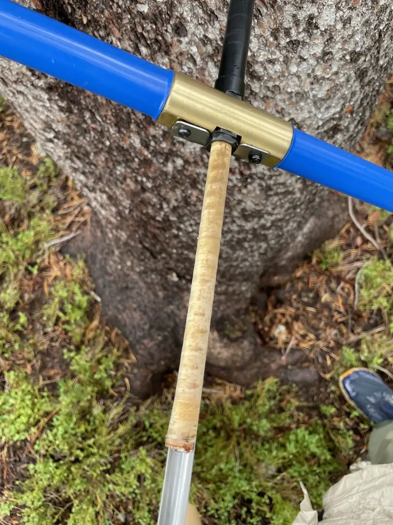
When they encounter a dead tree, Germain and Furniss will conduct a comprehensive pathology exam and extract a tree core to help determine what caused its death. These fine-toothed “autopsies,” which rely on both long-term field observations and lab analysis, allow the researchers to reconstruct the arc of an individual tree’s story.
“There might be something that weakens the tree, something that weakens it further, and then something that kills it. We try to disentangle that story. The most proximate thing alone doesn’t give you the full ecology of it,” Furniss says.
Ultimately, piecing together these individual stories can help researchers better understand the forest as a whole.
Global comparisons
While Furniss and Germain’s research focuses on Wyoming forests, their work is also part of a larger global effort to track and compare forest health across much larger spatial and temporal scales.
Their 25-hectare plot in Grand Teton National Park is one of 79 sites in the Smithsonian’s international ForestGEO (Forest Global Earth Observatory) network. It’s the first ForestGEO site in the Rocky Mountain region and is one of only six ForestGEO sites in the western U.S.
The ForestGEO network currently includes 29 countries, 12,000 tree species, and a total of approximately 7 million trees. Scientists at all sites follow the same research collection protocols and parameters, making the data readily comparable.
“It helps us do research that is both very targeted and place based, and also because it’s part of a network that shares protocols, we can do collaborations at regional and global scales,” says Furniss.
Partnering with park managers
In a collaboration closer to home, Germain and Furniss are working with park managers to test the effectiveness of different forest management strategies.
For example, one of their smaller study plots includes a stand of whitebark pines currently undergoing natural regeneration. In other areas of the park, park managers have planted whitebark pine seedlings started in greenhouses. Comparing the two methods may provide new insight into what management methods might work best in different situations.
“We’re able to do things that are directly relevant to people managing [the forest] and to the public. It’s a cool opportunity to be able to do science and still feel rooted in things that are useful and actually helping the forests,” Germain comments.
To learn more, contact Germain at sgermain@uwyo.edu or Furniss at tucker.furniss@uwyo.edu.
This article was originally published in the 2025 issue of Reflections, the annual research magazine published by the UW College of Agriculture, Life Sciences and Natural Resources.