

Two University of Wyoming agroecology majors are using free satellite images to help knock out musk thistle strangling rangeland productivity and to scrutinize the effects of damage into the future from a heavy rain-caused event washing away dry beans.
Traylin

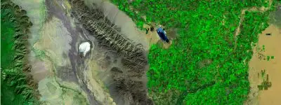
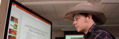
Wyoming students in the College of Agriculture and Natural Resources are using satellite images from the U.S. Geological Survey (USGS) to gauge and improve lands owned by their families.
Photographs are from years of satellite collection and offered free by …
We’re working to make AgNews easier to use and more useful for you. This quick survey takes about 1–2 minutes.