

A new set of maps that document the movements of ungulates is now published in the fourth volume of the “Ungulate Migrations of the Western United States.” The maps in this report series reveal the migration routes and critical ranges used by ungulates, or hooved mammals, in the western U.S., furthering scientists’ understanding of the geography.
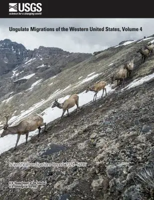
The new volume, “Ungulate Migrations of the Western United States: Volume 4,” documents 33 mule deer, pronghorn and elk herd migrations in collaboration with the wildlife agencies of Arizona, California, Nevada, New Mexico, Utah, Washington, the Wind River Indian Reservation, Wyoming and, for the first time, the states of Oregon and Colorado and the Pueblo of Tesuque in New Mexico.
Since 2018, this Corridor Mapping Team has been led by researchers at the U.S. Geological Survey’s (USGS) Wyoming Cooperative Fish and Wildlife Research Unit at the University of Wyoming. With this latest volume, the report series includes details and maps of the migrations and seasonal ranges for a total of 182 unique herds across 10 states.
“We’ve now mapped nearly 200 migrations of mule deer, pronghorn, elk, and other ungulates across diverse landscapes, from the high alpine Rocky Mountains to the temperate rainforest of the Pacific Northwest and the desert ecosystems of the American Southwest,” says Matt Kauffman, the report’s lead author and a wildlife biologist with the Wyoming Cooperative Fish and Wildlife Research Unit. “I’m impressed with how the team has worked together to adopt a standard set of methods to create robust migration maps of these ungulates across the West.”
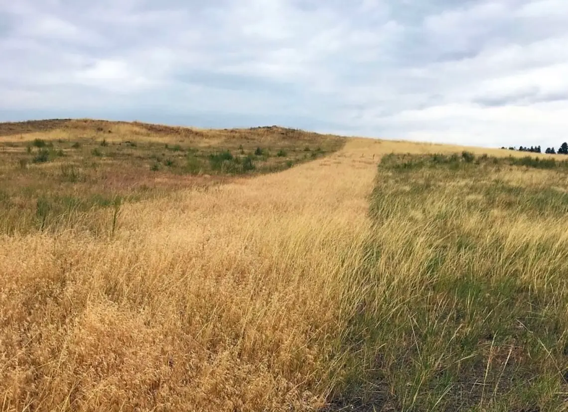
Ungulates migrate throughout the American West each spring and fall to access the most nutritious plants and avoid deep snow. But, as the human footprint in the West expands, these species increasingly face obstacles, such as new subdivisions, energy development, impermeable fences, and high-traffic roads on their long journeys. By mapping their migrations, scientists provide critical information—such as where migrations overlap with existing and potential obstacles—to managers, policymakers, nongovernmental organizations, and private landowners working to minimize impacts on wildlife.
“To best conserve and protect the habitat used by migrating elk, mule deer, moose, and pronghorn, we have to know exactly where these species move across the landscape,” says Blake Henning, chief conservation officer at the Rocky Mountain Elk Foundation. “That’s why this mapping work is so important—it’s to ensure their future health and well-being. We support and greatly appreciate the USGS and collaborating states and tribes for leading this highly collaborative and globally significant effort.”
The new report highlights how migration maps can be used for conservation and management amid changing landscapes. For example, when solar farms are built in ungulates’ range, they can reduce habitat and create barriers to movement for resident and migratory animals. The maps featured in the report series previously have been used to inform leasing decisions for oil and gas development, and they also can provide a key resource to help site future renewable energy projects to minimize effects to critical habitat.
“By using these migration maps and data, the Arizona Game and Fish Department was able to have informed conversations with landowners and solar developers about managing for wildlife corridors through a planned solar facility,” says Jeff Gagnon, statewide connectivity biologist at the Arizona Game and Fish Department. “These efforts will, hopefully, allow ungulates to continue their seasonal migrations.”
In addition to managers from the respective state wildlife agencies, co-authors of the fourth volume are the U.S. Forest Service, U.S. Fish and Wildlife Service, National Park Service, Bureau of Land Management, Navajo Nation Department of Fish and Wildlife, Pueblo of Tesuque Department of Environment and Natural Resources, and Shoshone and Arapaho Tribal Fish and Game, among other partners. Maps of each herd were produced in collaboration with state and tribal experts by cartographers from the USGS and the InfoGraphics Lab at the University of Oregon.
Thanks to funding from the USGS and the Rocky Mountain Elk Foundation, mapping by partners is ongoing, with a fifth volume of migration maps currently in preparation.
The Corridor Mapping Team, established in 2018 in response to Department of the Interior Secretary’s Order 3362, is a state-tribal-federal partnership working to map ungulate migration corridors with standard techniques. The first three volumes in the “Ungulate Migrations of the Western United States” report series were published in 2020 and 2022.
To explore migration routes and ranges, visit the interactive portal at www.westernmigrations.net, or download the map files from www.sciencebase.gov.
This story was originally published on UW News.